


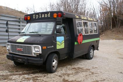
The Upland Festibus will provide SAG service during the ride!
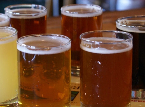
Sample some beer at the Upland Party on Saturday night!
THE ROUTES
The Dragonfly - 15 Miles: This will an easy-pleasy route for folks who are novice cyclists or it can be used as an add-on for folks wanting to combine routes for extra mileage.
There is one SAG stop at 10 miles.
All the routes start and end at Camp Framasa on Clay Lick Rd. There are 4 road routes available (13, 31, 47 and 82 miles) as well as mountain bike routes ranging in length from 3- 30 miles. The descriptions below are general. The specifics for each route won't be determined until mid-summer when we make final decisions depending on road conditions, etc. The information on line will be updated as it becomes available.
All The Tour de Upland routes are named after Upland Beer!
The Nut Hugger - 31 Miles: This travels north first to visit the beautiful Sweetwater lake, has one
SAG stop at 21 miles and then travels south down Salt Creek Rd. and back to Camp Framas for lunch!
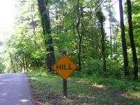
Rad Red - 47 Miles: The stakes start going up here! This will be a RAD ride that will hit a few of the major climbs in the area. Riders tackle Helmsburg Hill, Owl Creek Hill, and Three Notch Road. This route visits Sweetwater Lake. SAG stops are located at 20 miles and 37 miles.
Bad Elmer - 82 Miles: All bets are off!! Bad Elmer is not for the faint of heart! This route winds through the some difficult areas in Brown County. This route is for strong cyclists with good gearing. The tackles Helmsburg Hill, Owl Creek Hill, travels to Lick Creek Rd. and eventually ends up over at Sweetwater Lake. SAG stops are located at 53 miles, 70 miles. There are stores located at 10, 34 and 44 Miles.
Mountain Bike Routes: The Mountain Bike routes will leave Camp Framasa and travel 3 miles by road to the trail head in Brown County State Park. A map of the trails in the park will be included in each riders packet. The road will be marked leading you to the trail head. Once in the park, you can choose your mtn bike routes ranging from beginner to expert and distances from 3-30 miles. There will be a SAG stop with food and water at Hesitation Point.